Wednesday, May 29, 2013

Semuc Champey, Guatemala

Semuc Champey

Semuc Champey (Sacred Water in the Mayan language) is a natural monument in Guatemala which consists of a 300 meter limestone bridge, under which passes the Cahabon River.  On top of the bridge are a series of beautiful turquoise pools which were perfect for swimming.  In some places the pools were deep and we were able to dive from the ledge of one pool into the pool below and it also boasts a natural rock water slide.


The Cahabon River before it goes underground.
The river going underground.
The pools atop the limestone bridge.

Water flowing from the pools into the river below.

The river below the pools

Views of the river and landscape from our hike to the famous blue pools of Semuc Champey


Around our lodge in Semuc Champey

In addition to very aggressive ants and the perfect spot for bathing in the river, our lodge also had some beautiful scenery including a view of the mountains, the river, enormous cacao plants and persistent trees.  Locals make delicious chocolate, including varieties with cardmom, which is also grown in this region.


Rio Dulce & Livingston, Guatemala

After several conversations with fellow travelers we decided to make our way from Semuc Chempey to Utila (an island off the coast of Honduras) via a boat trip from Rio Dulce to Livingston.  After a five-hour ride on gravel roads through the jungles of the department of Alta Verapaz (and along the Cahabon River), we arrived at the river, which flows out of Lake Izabal (the largest in Guatemala).  According to the U.S. coast guard, this area is the safest place to hide a sailboat during hurricane season.

Rio Dulce


Castillo de San Felipe - a historic fort on Lake Izabal that was used to defend Rio Dulce from the threat of pirates.


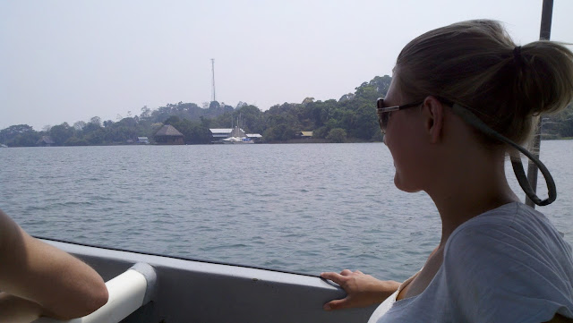
On the river . . .


Livingston - Hike to Seven Alters and the beach...finally!

Livingston is the port town at the mouth of Rio Dulce.  It feels much more like Jamaica than Guatemala, and has a unique blend of Garifuna, Afro-Caribbean, Maya, and Ladino cultures.  We enjoyed tapado - a traditional Garifuna dish consisting of snapper, crab and other seafood, and plantains swimming in a spicy, coconut milk broth.....delicious.


Land crabs were everywhere!  As you walk along the path near the beach you could see (what seemed like hundreds) scurrying into their holes out of the corner of your eye.  This guys was a little slow and I was able to snap a photo.


Tikal Ruins, Guatemala

Tikal, one of the largest archaeological sites and urban centers of the pre-Columbian Mayan civilizations, was once the capital of a conquest state that became one of the most powerful kingdoms of the ancient Maya.  The architecture dates back as far as the 4th century BC, and peaked during the classic period, 200-900 AD. During this time, the city dominated much of the Maya region politically, economically, and militarily, while interacting with areas throughout Mesoamerica as far as the Valley of Mexico. The residential area of Tikal covers an estimated 23 square miles, much of which has not yet been cleared, mapped, or excavated.  The population has been estimated between 10,000 and 90,000 and possibly 425,000 in the surrounding area.

And for all you Star Wars fans, Temple I at Tikal appeared in the first Star Wars Movie, Episode IV: A New Hope.


The altars in from of the pyramid were used during sacrificial ceremonies.

Un-excavated pyramid - this is what the majority of the ruins looked like before  restoration began in the 1880s.

Entering the Great Plaza


The Great Plaza lies at the core of the Tikal site


A koati...


An ocellated turkey....we also saw toucans, parrots, aracaris, woodpeckers, and many others.... 
This tree has been tapped to collect chicle - the traditional base for chewing gum.  The method is similar to the tapping of latex from the rubber tree.


Link to all of our pictures from Tikal (...yes, there are more):

Flores, Guatemala

The Island of Flores (capital of the department of El Peten, Guatemala) was our home base for visiting Tikal.  It was a pleasant albeit HOT little town, but the easy access to Lake Peten Itza (the second largest in the country) made it worth it.  Although the best part of this leg of our trip was meeting fellow travelers and hearing about their paths to the island of Flores, tales of other successful travelers, and their plans for the future.


A view of the island of Flores from San Miguel


From the island looking towards San Miguel.

San Miguel is a short boat ride from Flores and has ruins that have yet to be excavated.


A beautiful beach on San Miguel!